Estuarine box model for Interfacing rivers and Ocean

01. Descrizione
EstuarIO aims to combine capacities to handle observational data and advanced modeling approaches to improve surface boundary conditions in the Copernicus Marine regional configurations.
EstuarIO develops specific interfaces with the European Flood Awareness System (EFAS) and river altimetry data in the estuarine area as provided by HydroWeb.
EstuarIO project’s results will be tested in the Mediterranean and Black Sea physical analysis and forecasting systems by adopting the pre-qualification and validation methods as used in both Copernicus Med-MFC and BS-MF.
02. Obiettivo
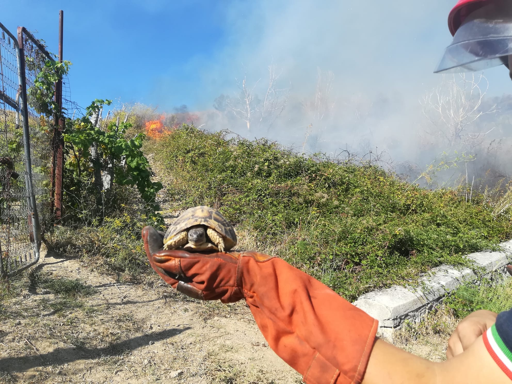
La Convenzione prevede la customizzazione di un software per la modellazione del pericolo d’incendio e la propagazione del fronte di fiamma, lo sviluppo di tool specifici per la calibrazione e la validazione dei modelli e la realizzazione di una metodica per l’integrazione della valutazione della pericolosità naturale con la valutazione della pericolosità determinata dall’azione antropica.
03. Links
Area:
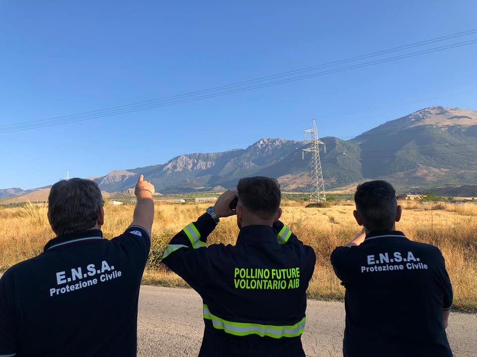
- Parco Nazionale del Pollino
Soggetto Responsavile
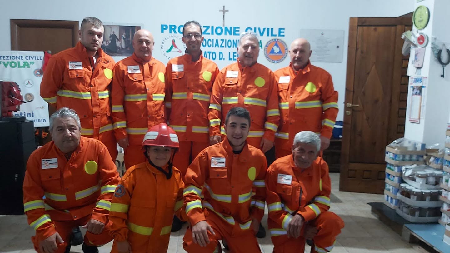
- PROTEZIONE CIVILE
Collaborazione
- Università della Calabria
- CNR Basilicata
Finanziamento
- Bando Ambiente 2018
- Fondazione con il Sud
Budget:
- € 100.000,00
Anno:
- 2021